At Spalding DeDecker, we use our UAV (drone) for aerial videography and photography to complement our traditional surveying and laser scanning workflow. The drone surveying data can help facilitate various projects including construction staking, as-builts, real estate, site documentation, and mapping. It also helps access areas that are unsafe for field personnel.
Why Use UAV
- Safe – Much safer alternative than traditional methods
- Certified – FAA approved for commercial uses; licensed and trained pilot on site
- Insured – Liability policy on UAV
- Fast – High Definition Photo and Video Capture in minutes
Various UAV Applications
- Inspection
- Site planning
- Construction documentation
- Stock pile volumes
- Asset Management
Available Services
- Raw Video/Photo
- Point Cloud Data
- 2D line drawing
- Volume Calculations
We take great pride in the work we do. With over 65 years of experience, we ensure that our clients receive accurate survey information and get requested plans and drawings on time.
UAV Fly Through Example
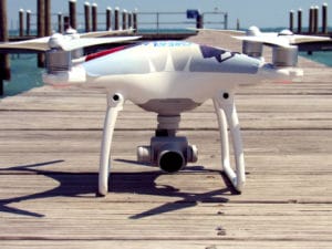
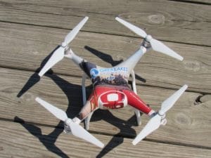
Currently, we use a DJI Phantom 4 with a camera mounted to the bottom of the UAV.